
The Sanborn Maps "Special Indexes"
05 December 2023 by Paratext Editorial
News | Product Updates | Eight Centuries | 19th Century | 20th Century | American Studies | History | New Collections | 8C Product Updates
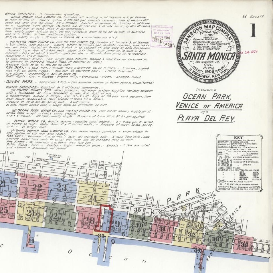
The Sanborn maps.
Ask any historian of early American history “what’s a Sanborn map?” and you’re likely to receive an earful.
The maps, which cover American cities decade-by-decade, chart the rapid change and growth of this country’s urban areas in a way matched by few other primary sources. The digitized versions of Sanborn maps have been used by historians for years.
However, there exists a vital tool which has not been accessible in an integrated way until now: the Sanborn Special Indexes.
Many volumes of maps covering towns and cities included a “Special Index” which listed prominent businesses, houses of worship, and other institutions in the area. These Special Indexes are, essentially, a summary of the contents of a town.
This is a remarkable resource for historical demography and social development studies. These Special Indexes are now being integrated into Paratext's Eight Centuries. The first installment of the Sanborn Special Indexes--which includes all of California--is live now and available for searching.
Other installments will be made periodically thereafter. To learn more about all the exclusive content within Eight Centuries, please visit here.
Follow Us

Popular Posts
- "A Profitable, Elevating, and Attractive Profession”: Bettering Farming through the Farmers' Bulletin
- The Granite Monthly in 19th Century Masterfile
- A Smell Bad Enough to Leave Town: One of the Worst Odors in the History of Science
- A Fish Woman, a Cyprian Noble, and a Punk Rocker Couple Walk into a Bar: Narratives of Human Experience in Europeana
- Modifications to Reference Universe for Web and Public Service Administrators
Categories
- News
- Product Updates
- New Collections
- bird
- 8C Product Updates
- USM Product Updates
- RU Product Updates
- Reference Universe
- Eight Centuries
- United States Masterfile
- 17th Century
- 18th Century
- 19th Century
- 20th Century
- 21st Century
- American Studies
- European Studies
- History
- Art History
- History of Mathematics
- History of Science
- Political History
- Literature
- Philosophy